

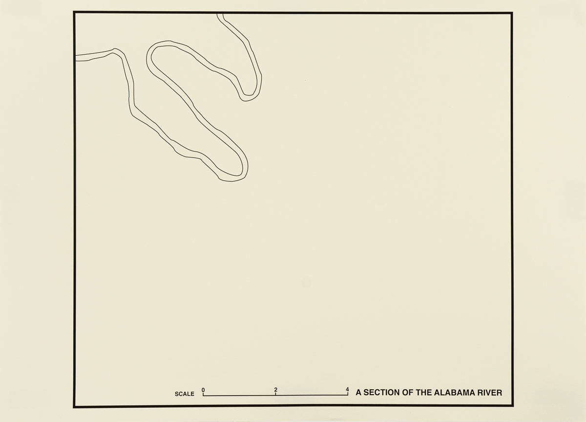


City Rivers/River Cities
Digital prints on paper
2012
30” x 21.5” each
Most major American cities are located on the banks of rivers, and in many cases the river — its utility for potable water, industry, and transportation — was the reason the city was founded. But the relationship between the two has ebbed and flowed over time, and as their utility has decreased so has their significance in the identity of the cities they once supported.
These maps take their framing from standard AAA road maps of cities across the country, but omit all geographic information other than the river’s course.