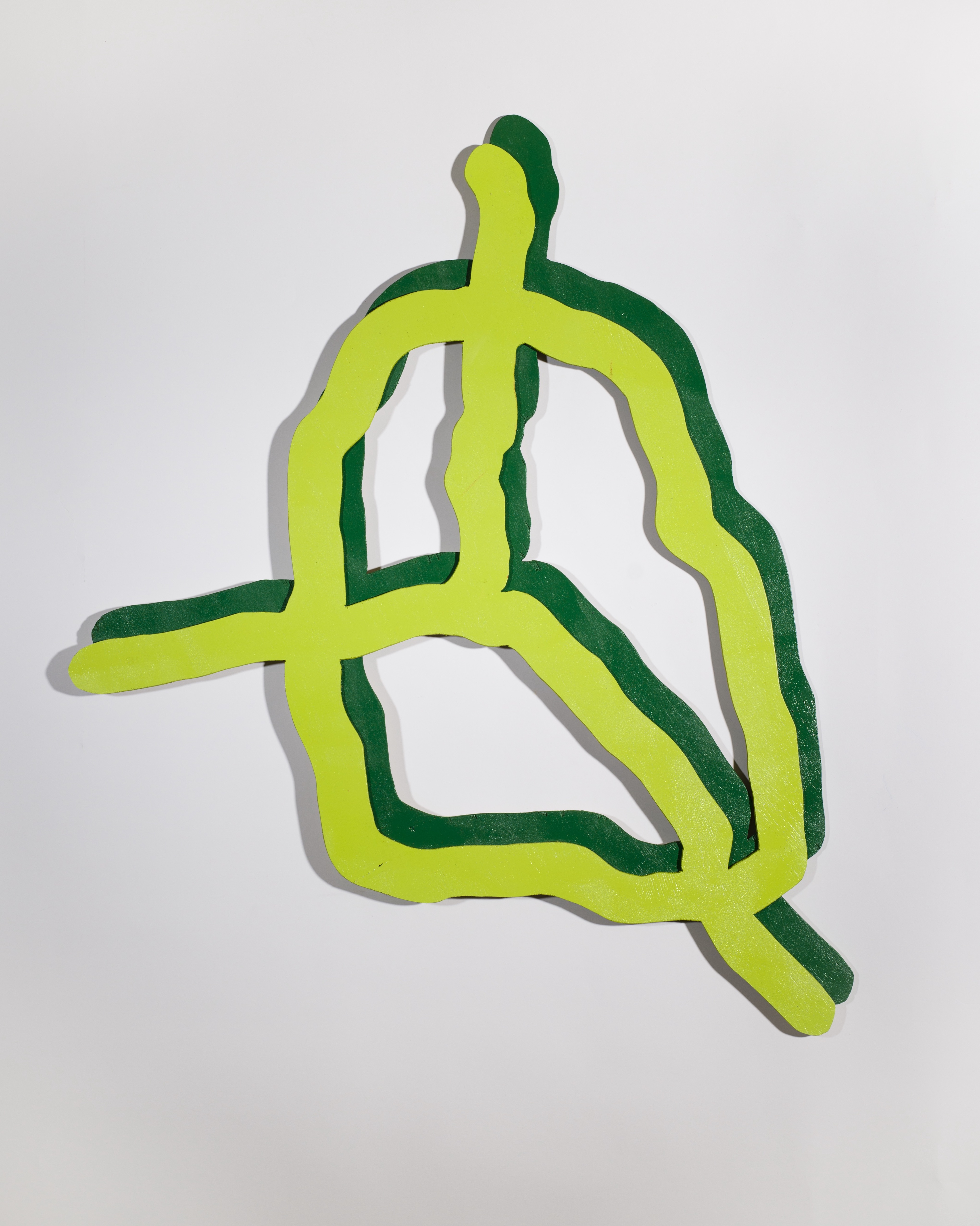
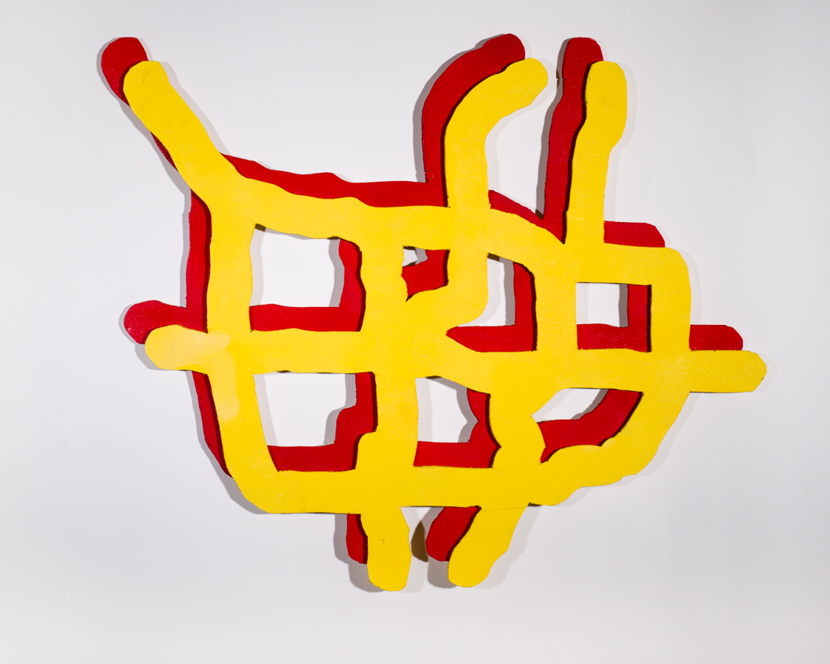
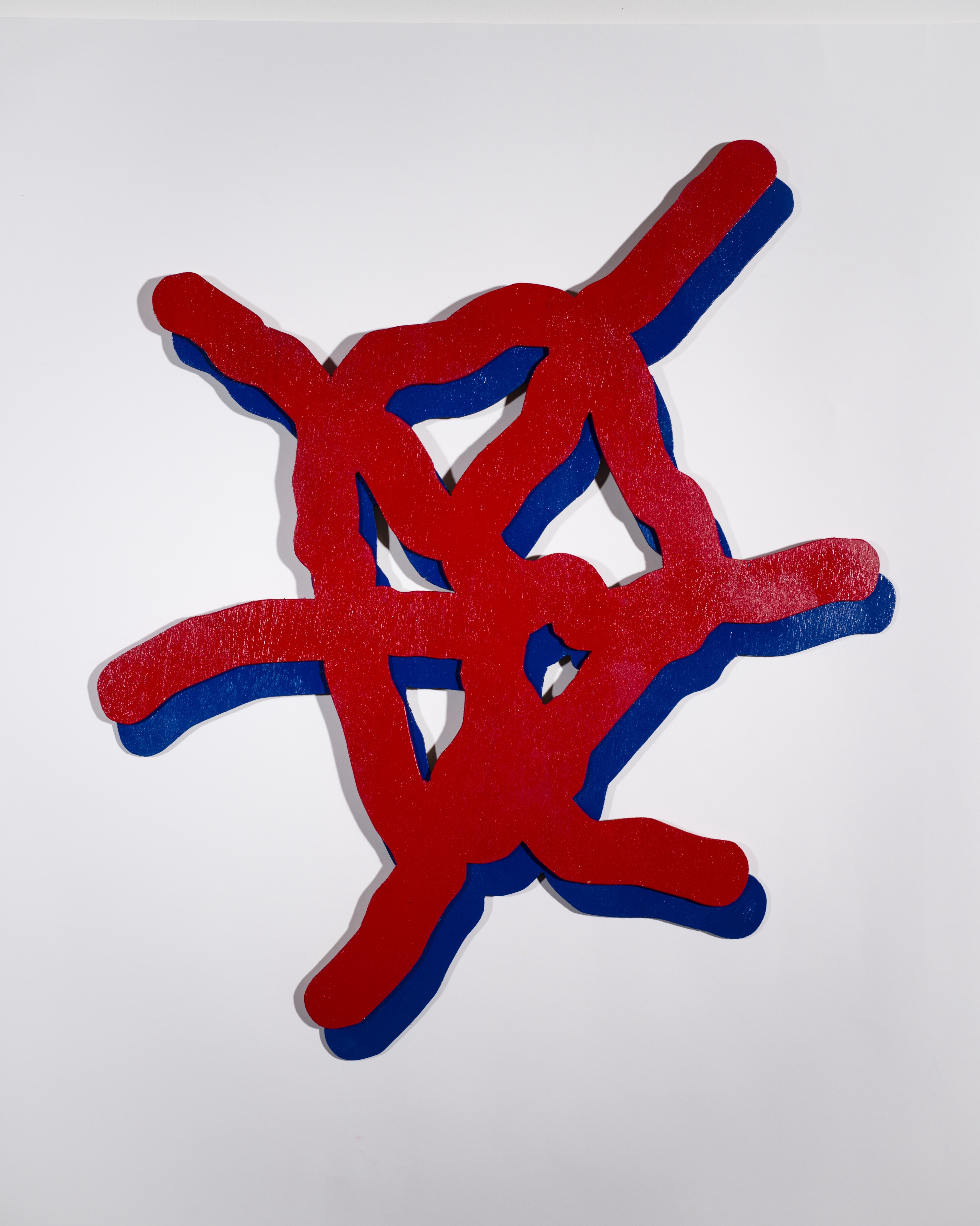


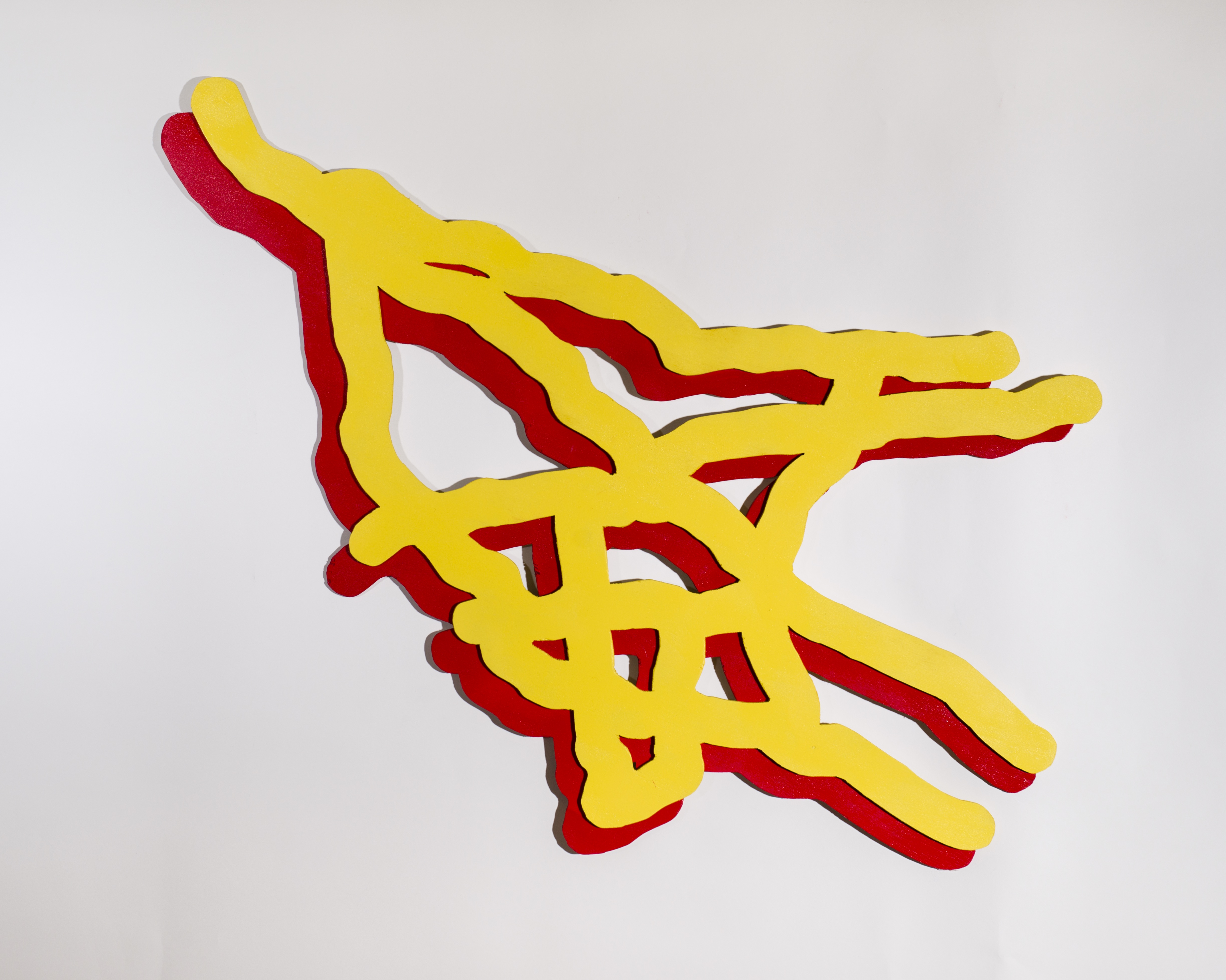
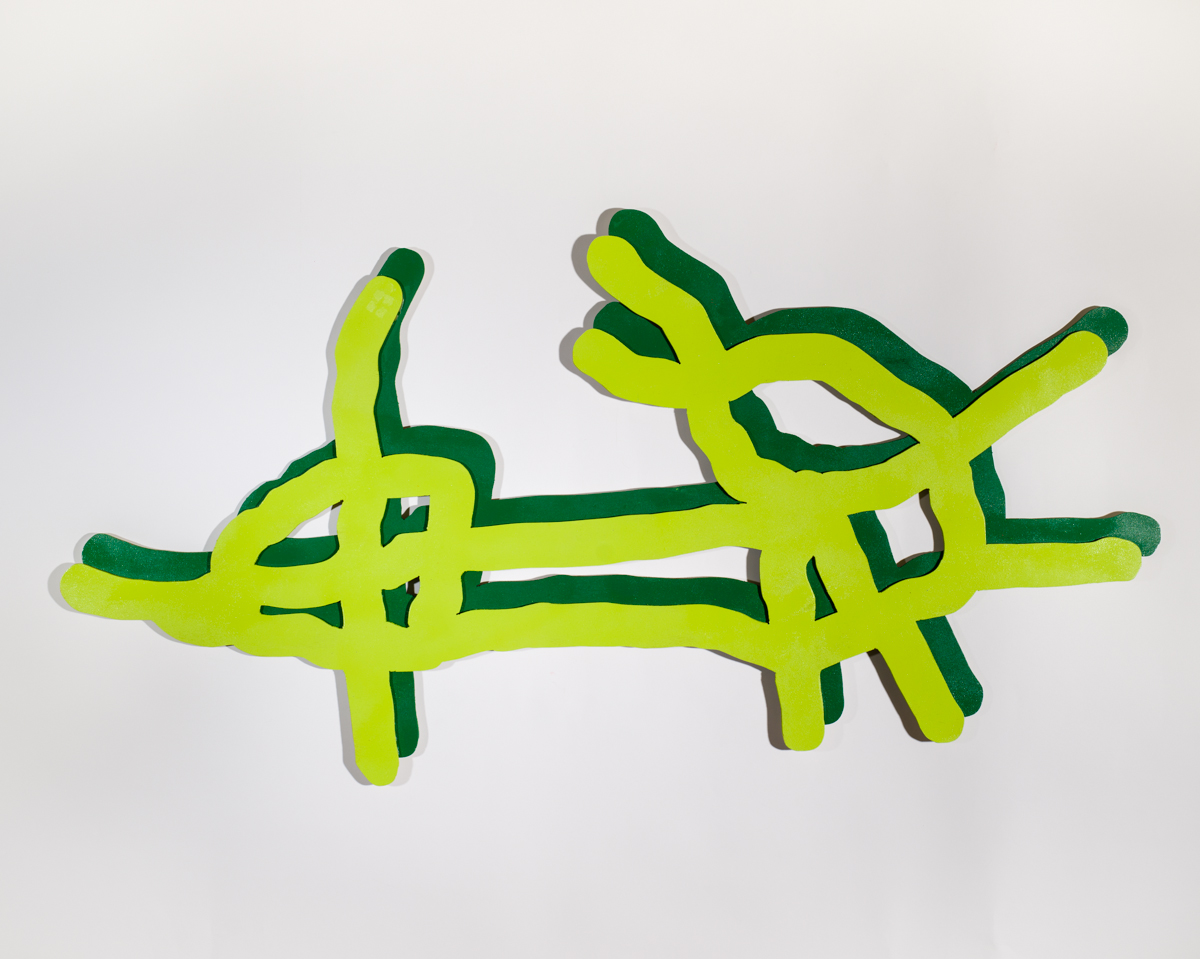
Interstates
Spray paint and plywood
2014
Dimensions variable
Border maps are often used as symbols for a place. In the US, the boundaries of each state are recognizable icons, and are so common that the distinction between a state and its borders can be easily overlooked. But why should these invisible political lines be the only form of map which achieves iconic status?
Interstates is a series of seven maps of American cities, featuring the interstate highways running through them as colorful, stylized lines.