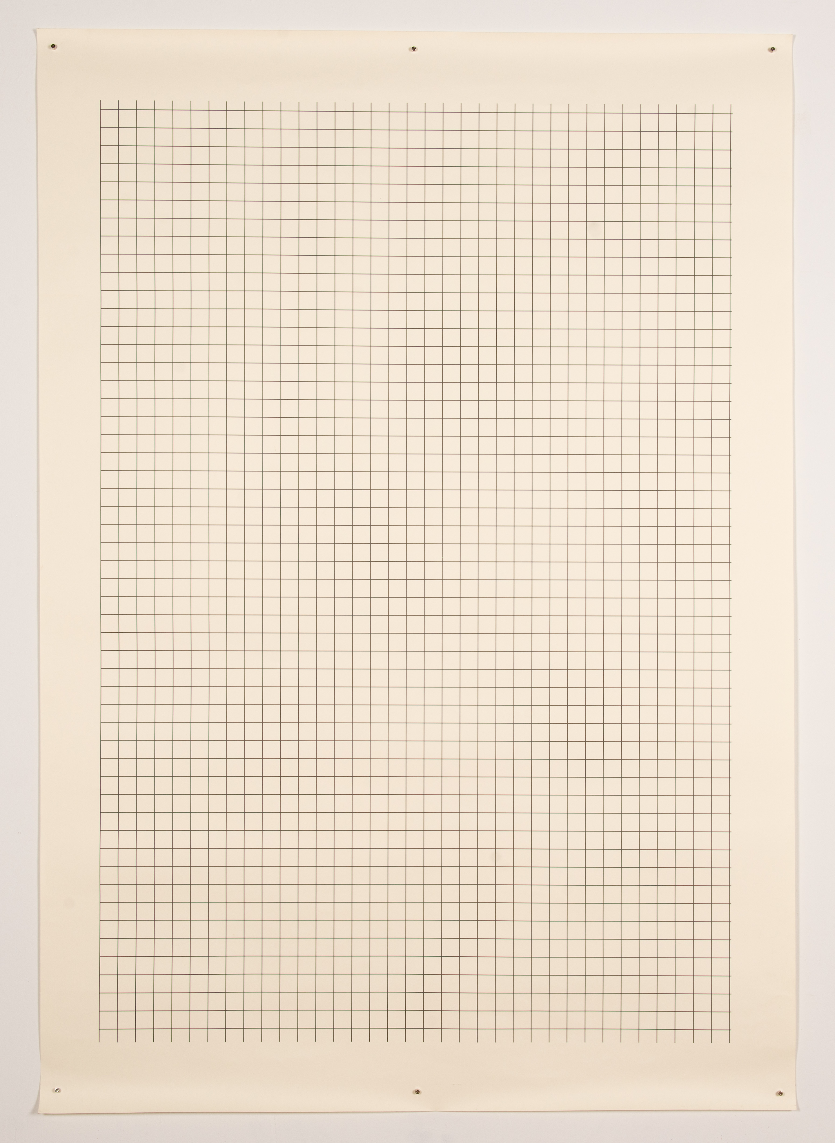

[left] Map of Chicago (Grid)
[right] Map of Chicago (Cracks)
Digital print on paper
2019
60” x 42”
This pair of prints presents two different ways of mapping the street network of Chicago. One presents the implied superblock grid strucutre, the abstract rule which governs address numbers, neighborhood boundaries, and Chicagoan’s sense of space. The other presents every street which is not oriented towards the cardinal directions; put another way, every street which does not follow the stipulations of the gridded rule.